

Pocono Mountains
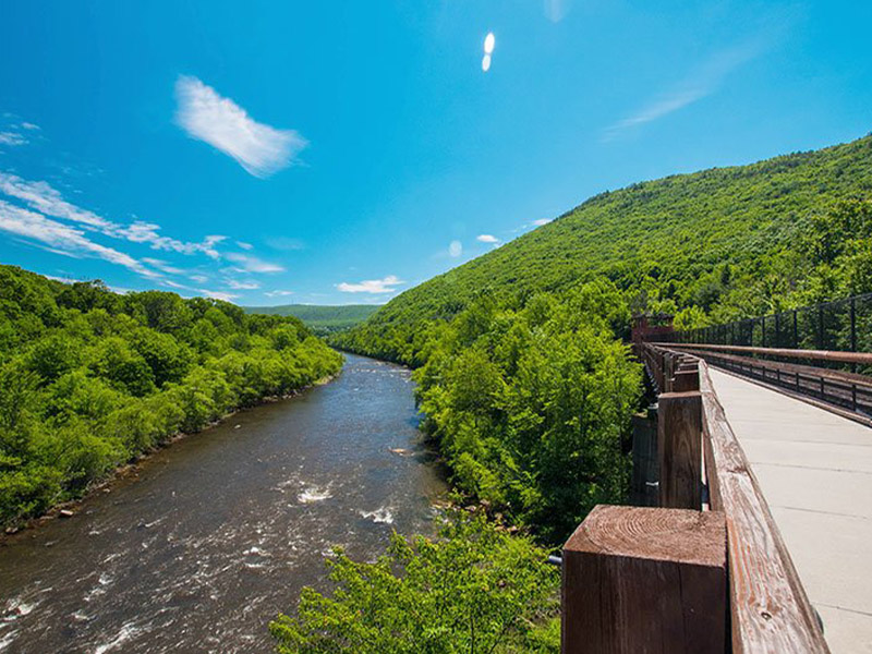
Get to know this 24.0-mile point-to-point trail near White Haven, Pennsylvania. Generally considered a moderately challenging route, it takes an average of 8 h 43 min to complete. This is a popular trail for birding, fishing, and hiking, but you can still enjoy some solitude during quieter times of day. The trail is open year-round and is beautiful to visit anytime. Dogs are welcome and may be off-leash in some areas.

Pocono Mountains
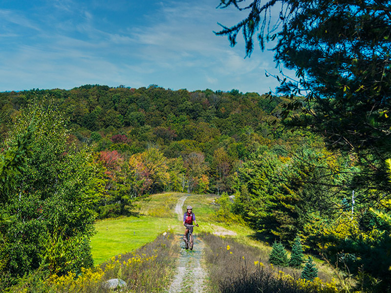
Pennsylvania’s 2021 Trail of the Year The D&H Rail-Trail is a 38-mile recreational trail that stretches from Simpson to the New York border. In 2021, the Pennsylvania Department of Conservation and Natural Resources (DCNR) named this popular trail the 2021 Trail of the Year. The historic D&H Rail-Trail trail follows the former Delaware and Hudson railroad line. It runs along the scenic Lackawanna River to the Stillwater Dam, where it continues to wind through rural Wayne and Susquehanna Counties.

Pocono Mountains
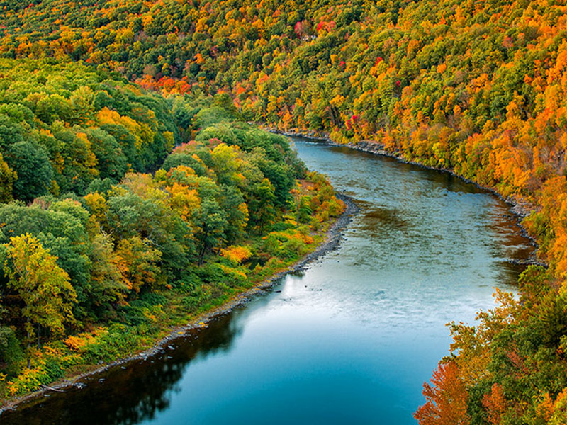
The Upper Delaware Scenic and Recreational River stretches over 70 miles along the Delaware River. It spans Pike and Wayne counties in NEPA and parts of New York. Hike miles of trails, like the Cobey Pond Trail in Masthope or the Damascus Forest Trail in Beach Lake. Visit historic sites near Lackawaxen like the Zane Grey Museum or Roebling’s Delaware Aqueduct, an 1847 suspension bridge.

Pocono Mountains
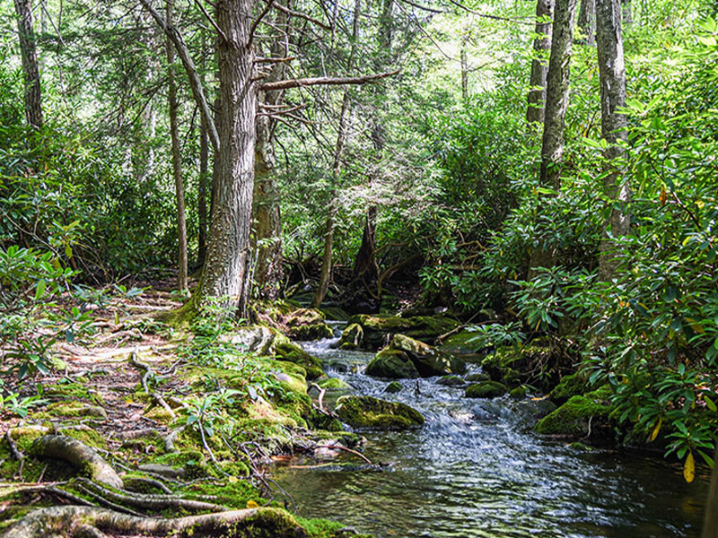
Take a trek through Jonas Mountain Nature Preserve in Effort. The Pocono Heritage Land Trust manages this 417-acre property, which includes scenic hiking trails. Be sure to bring your binoculars because Jonas Mountain is the perfect spot to watch the wildlife. The preserve is home to about 160 species of birds. Jonas Creek runs through the property. It’s always a popular fishing spot during trout season.

Pocono Mountains
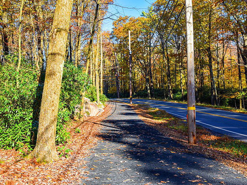
The Kidder Hike & Bike Trail is a short trail that connects Big Boulder Lake and downtown Lake Harmony. The trail runs alongside Big Boulder Drive and Lake Harmony Road, providing a safe and convenient way for walkers and bikers to reach the area’s restaurants, lodging, and other attractions. The trail is handicap accessible with its flat, crushed stone surface. Along the way, you’ll see the glimmering waters of Big Boulder Lake, Lake Harmony, and Round Pond. Take a moment to relax and soak up the natural beauty of the Poconos.

Pocono Mountains
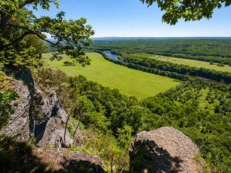
The Cliff Park Trail System, located in the Delaware Water Gap National Recreation Area, boasts spectacular valley vistas and the occasional waterfall. This system covers about 9 miles of hiking terrain through forests, fields, overlooks and creek beds. There are 8 connected trails that can be taken individually or combined for a more vigorous hike.

Great Lakes & Erie
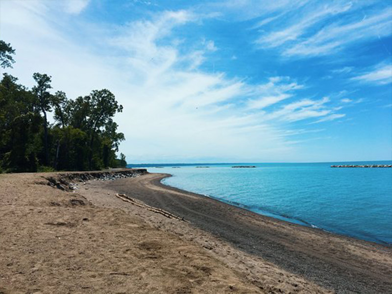
Enjoy this 1.1-mile out-and-back trail near Erie, Pennsylvania. Generally considered an easy route, it takes an average of 23 min to complete. This trail is great for birding, fishing, and hiking, and it's unlikely you'll encounter many other people while exploring. The best times to visit this trail are March through November. Dogs are welcome, but must be on a leash.

Great Lakes & Erie
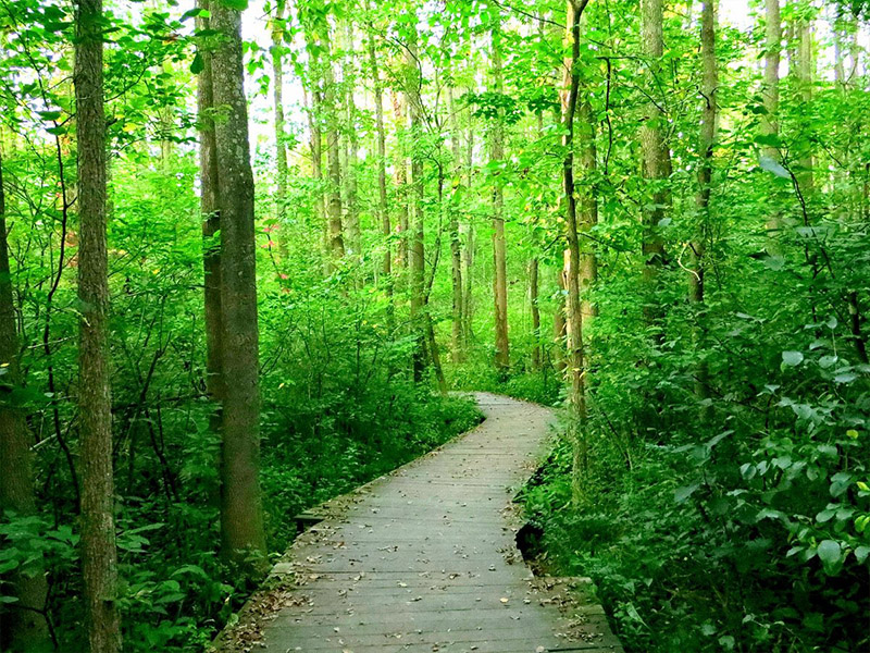
Discover this 3.5-mile out-and-back trail near Erie, Pennsylvania. Generally considered a moderately challenging route, it takes an average of 1 h 22 min to complete. This is a very popular area for hiking, trail running, and walking, so you'll likely encounter other people while exploring. Dogs are welcome, but must be on a leash.

Great Lakes & Erie
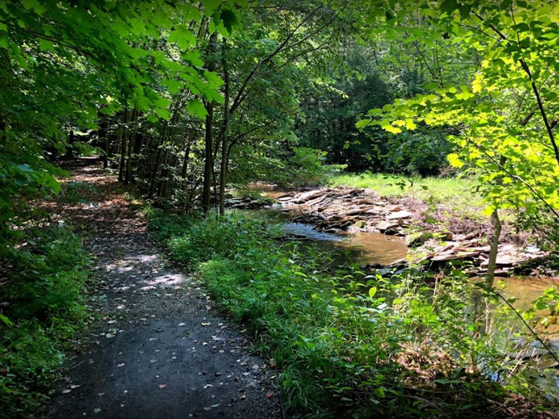
The trailhead begins below the dam at Shelter 1. Follow the trail across the Shenango River and turn right. This hiking and snowmobile trail runs along the beautiful tree-lined Sugar Run. Stop and listen for songbirds, relax by the small rapids, and check out the large sandstone rocks lining the stream bottom and banks.

Great Lakes & Erie
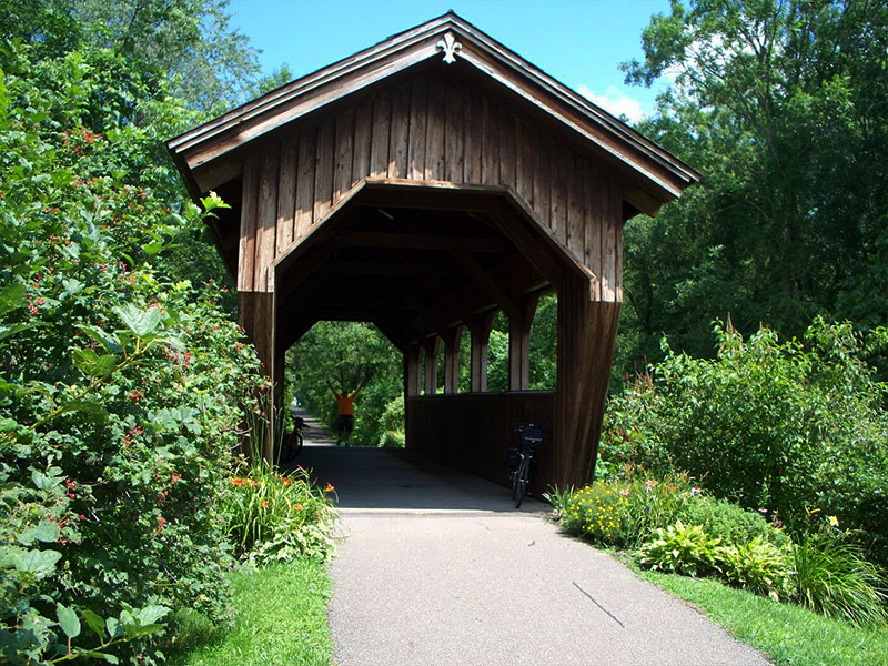
Traversing terrain with imprints of ice-age glaciation, the trail passes through the lush bottom lands of French Creek Valley. With 66 species of fish and 27 species of mollusks, French Creek is Pennsylvania most biologically diverse body of water. From the creek to the end of the trail’s completed portion, the landscape is pastoral with varied environments of meadow and marsh, hardwood stands and hemlock thickets.

Great Lakes & Erie
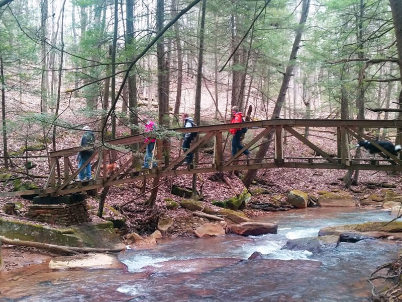
Check out this 27.4-mile point-to-point trail near Bradford, Pennsylvania. Generally considered a moderately challenging route, it takes an average of 11 h 12 min to complete. This trail is great for camping and hiking. Dogs are welcome, but must be on a leash.

Great Lakes & Erie
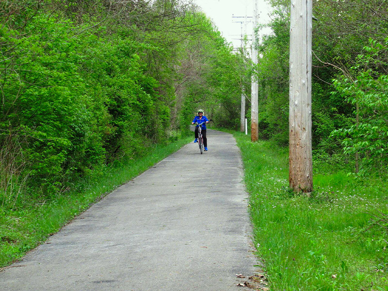
Experience this 14.9-mile out-and-back trail near New Castle, Pennsylvania. Generally considered an easy route, it takes an average of 5 h 20 min to complete. This is a popular trail for birding, cross-country skiing, and road biking, but you can still enjoy some solitude during quieter times of day. The trail is open year-round and is beautiful to visit anytime. Dogs are welcome, but must be on a leash.

Pittsburgh & Its Countryside
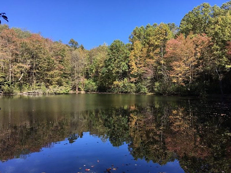
Try this 17.2-mile out-and-back trail near Portersville, Pennsylvania. Generally considered a moderately challenging route, it takes an average of 7 h 39 min to complete. This is a popular trail for backpacking, birding, and hiking, but you can still enjoy some solitude during quieter times of day. The best times to visit this trail are March through October. Dogs are welcome, but must be on a leash.

Pittsburgh & Its Countryside
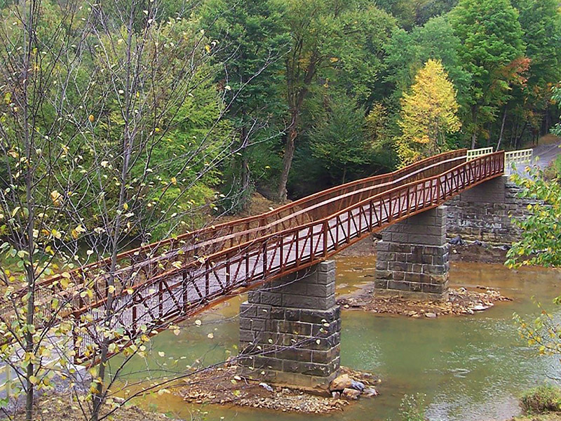
Explore this 12.3-mile point-to-point trail near Vintondale, Pennsylvania. Generally considered an easy route, it takes an average of 4 h 42 min to complete. This is a popular trail for birding, hiking, and mountain biking, but you can still enjoy some solitude during quieter times of day. The best times to visit this trail are March through November. Dogs are welcome, but must be on a leash.

Pittsburgh & Its Countryside
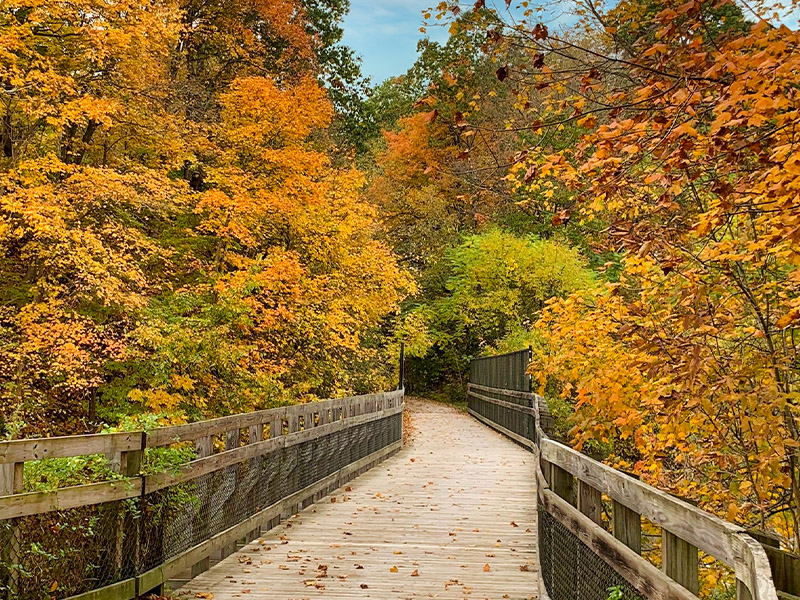
Try this 36.9-mile point-to-point trail near South Park, Pennsylvania. Generally considered a moderately challenging route, it takes an average of 13 h 25 min to complete. This is a popular trail for birding, mountain biking, and road biking, but you can still enjoy some solitude during quieter times of day. The best times to visit this trail are March through October. Dogs are welcome and may be off-leash in some areas.

Pittsburgh & Its Countryside
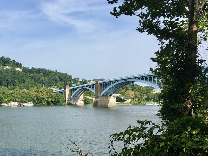
The Lawrenceville section of the Three Rivers Heritage Trail is a short 1 mile out-and-back hike that starts at the end of 40th street. The trail starts under the 40th street bridge and heads north to 43rd street before you turn back and head south. The southern section of the trail ends at the train tracks, but this GPS map brings you about 150 feet beyond the end of the trail to a small ledge and lookout point that overlooks the Allegheny River.

Pittsburgh & Its Countryside
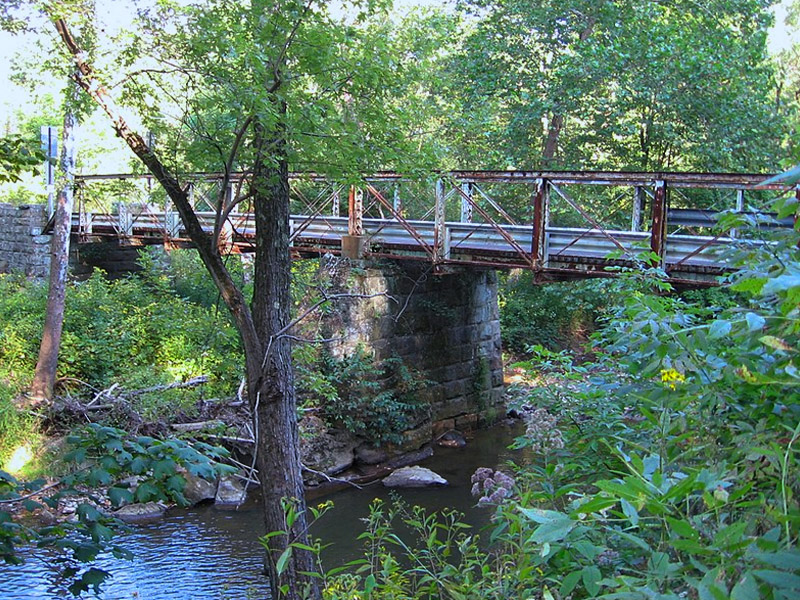
The North Country National Scenic Trail is the longest in the National Trails System, stretching 4,800 miles across eight states from North Dakota to Vermont, traversing forests and farmlands, remote terrain and nearby communities. Whether you’re looking to day-hike a few miles or plan a longer overnight backpacking trip, a multitude of diverse landscapes and hiking opportunities are waiting for you.

Pittsburgh & Its Countryside
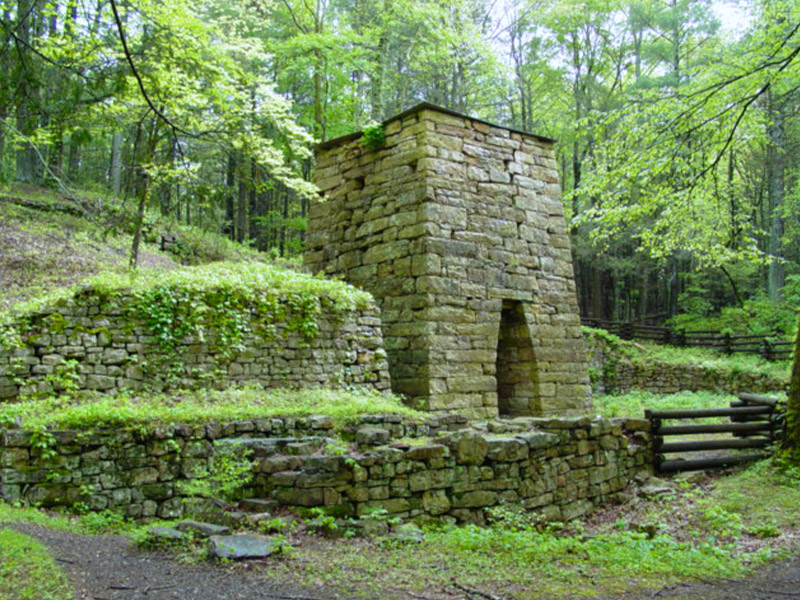
Try this 9.4-mile out-and-back trail near Apollo, Pennsylvania. Generally considered an easy route, it takes an average of 3 h 31 min to complete. This is a popular trail for road biking, trail running, and walking, but you can still enjoy some solitude during quieter times of day.

PA Wilds
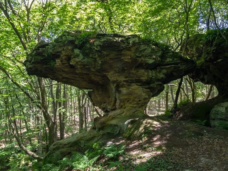
This impressive hiking trail in the heart of elk country offers an impressive geological formation, formed by the effects of wind and water over millions of years, accessible by this hiking trail. This stop makes for impressive selfies.

PA Wilds
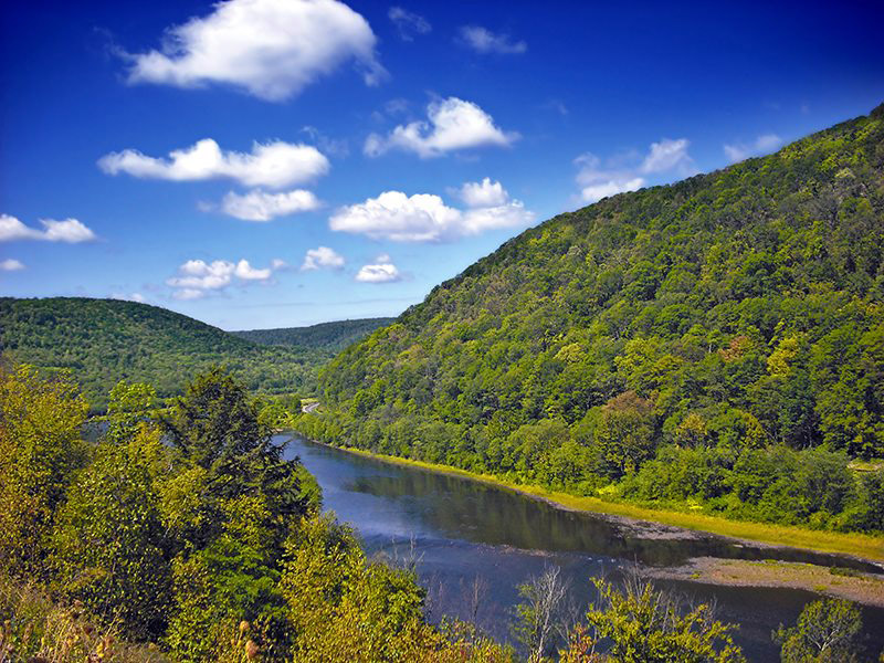
Experience this 7.2-mile out-and-back trail near Renovo, Pennsylvania. Generally considered a moderately challenging route, it takes an average of 3 h 29 min to complete. This is a popular trail for hiking and walking, but you can still enjoy some solitude during quieter times of day. The best times to visit this trail are March through October. Dogs are welcome, but must be on a leash.

PA Wilds
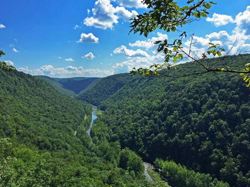
The Grand Canyon of Pennsylvania, also referred to as the Pine Creek Gorge, stretches for over 45 miles with depths of nearly 1500 feet. The dynamic topography of the PA Grand Canyon creates many scenic wonders, including steep canyon walls and waterfalls.

PA Wilds
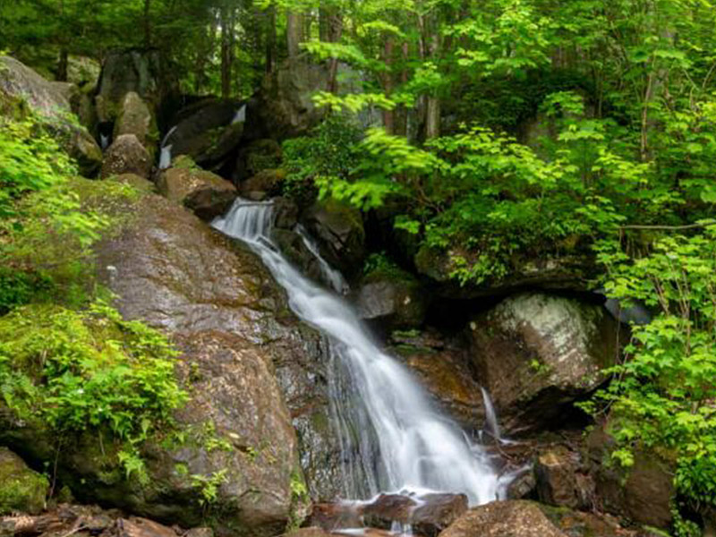
Head out on this 2.9-mile out-and-back trail near Warren, Pennsylvania. Generally considered an easy route, it takes an average of 1 h 24 min to complete. This is a popular trail for birding, hiking, and trail running, but you can still enjoy some solitude during quieter times of day. The best times to visit this trail are March through October. Dogs are welcome, but must be on a leash.

PA Wilds
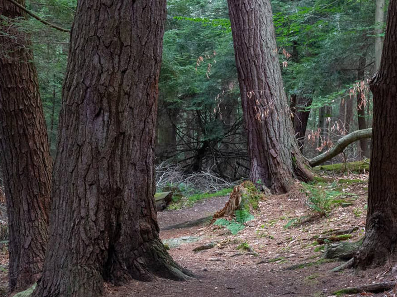
Want to find the best trails in Cook Forest State Park for an adventurous hike or a family trip? AllTrails has 17 great hiking trails, biking trails, running trails and more. Enjoy hand-curated trail maps, along with reviews and photos from nature lovers like you. Ready for your next hike or bike ride? Explore one of 4 easy hiking trails in Cook Forest State Park that are great for the whole family. Looking for a more strenuous hike? We've got you covered, with trails ranging from 29 to 2,785 feet in elevation gain. Whatever you have planned for the day, you can find the perfect trail for your next trip to Cook Forest State Park.

PA Wilds
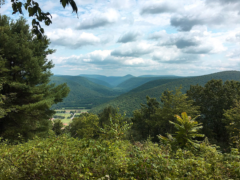
Rider Park is open to the public from dawn to dusk, 365 days a year. All facilities as marked on the map, including restrooms and pavilion areas, are available for public use during park hours. Choose from four major trails (plus supporting trails) offering terrain for all fitness levels. Combine trails for longer hikes or link up with a trail in adjacent Loyalsock State Forest. Plan your journey to take in one of three beautiful vistas: Doe Pen, Katy Jane East, and Katy Jane South.

Laurel Highlands & Alleghenies
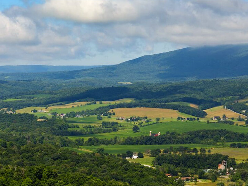
Ready for your next hike or bike ride? Explore one of one easy hiking trails in Blue Knob State Park that are great for the whole family. Looking for a more strenuous hike? We've got you covered, with trails ranging from 380 to 1,423 feet in elevation gain. Whatever you have planned for the day, you can find the perfect trail for your next trip to Blue Knob State Park.

Laurel Highlands & Alleghenies
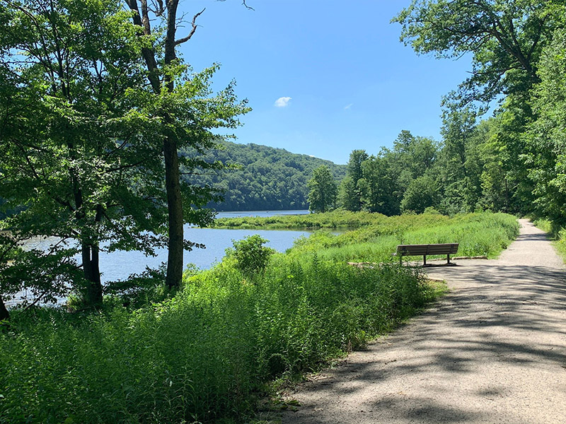
Try this 5.9-mile loop trail near Somerset, Pennsylvania. Generally considered a moderately challenging route, it takes an average of 2 h 27 min to complete. This is a popular trail for hiking, snowshoeing, and walking, but you can still enjoy some solitude during quieter times of day. The trail is open year-round and is beautiful to visit anytime. Dogs are welcome, but must be on a leash.

Laurel Highlands & Alleghenies
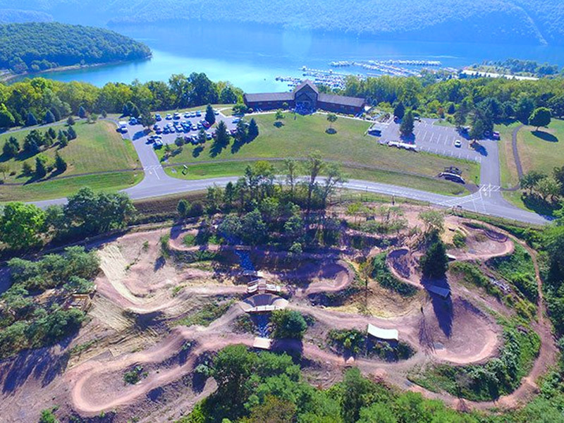
The 24 trails in the system were designed and built to provide sustainable trails for a variety of human uses including mountain biking, hiking, trail running, snowshoeing and cross-country skiing. The Allegrippis Trails are arranged as stacked loops, giving the user the opportunity to plan a route as short or as long as they would like. There are nearly endless combinations, so even riders who come back time after time have the opportunity to use a new route each time.

Laurel Highlands & Alleghenies
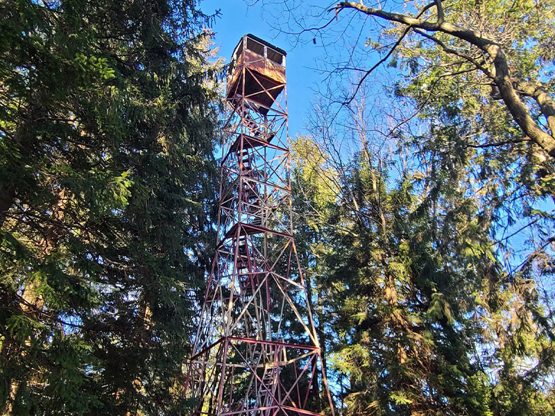
Head out on this 3.6-mile loop trail near Boalsburg, Pennsylvania. Generally considered a moderately challenging route, it takes an average of 1 h 56 min to complete. This is a popular trail for hiking and mountain biking, but you can still enjoy some solitude during quieter times of day. Dogs are welcome and may be off-leash in some areas.

Laurel Highlands & Alleghenies
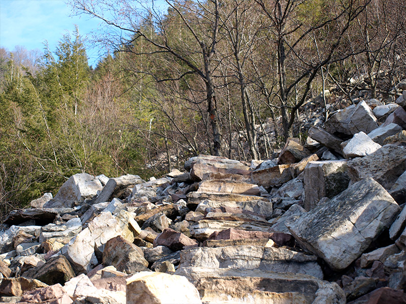
The Standing Stone Trail follows scenic ridgelines in Huntingdon, Mifflin, and Fulton counties: the south middle region of Pennsylvania's Tiltrock Country. Originally built as a connector for the Mid State Trail and Tuscarora Trail, the Standing Stone Trail is a destination in its own right, offering Pennsylvania hikers and backpackers a link to dramatic scenery, wild plant and animal life, and compelling history.

Laurel Highlands & Alleghenies
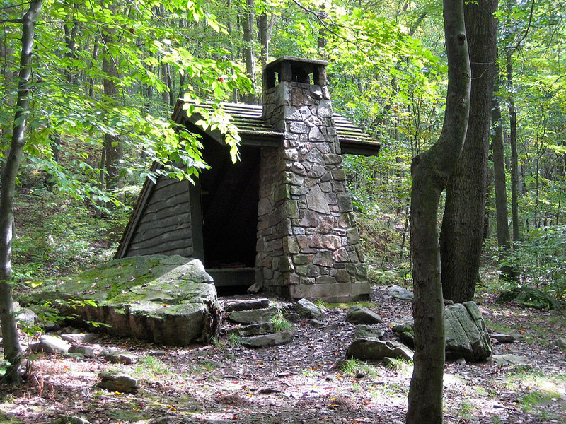
Try this 11.2-mile out-and-back trail near Ohiopyle, Pennsylvania. Generally considered a challenging route, it takes an average of 5 h 37 min to complete. This is a popular trail for backpacking, birding, and camping, but you can still enjoy some solitude during quieter times of day. The best times to visit this trail are March through October. Dogs are welcome, but must be on a leash.

Upstate PA & Susquehanna River Valley
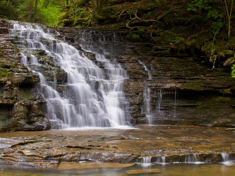
Check out this 1.8-mile loop trail near Montrose, Pennsylvania. Generally considered a moderately challenging route, it takes an average of 44 min to complete. This is a popular trail for hiking, trail running, and walking, but you can still enjoy some solitude during quieter times of day. The trail is open year-round and is beautiful to visit anytime. Dogs are welcome, but must be on a leash.

Dutch Country & Gettysburg
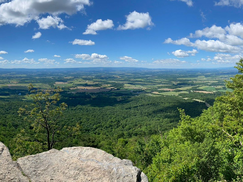
Discover this 4.8-mile loop trail near Newville, Pennsylvania. Generally considered a challenging route, it takes an average of 2 h 34 min to complete. This is a very popular area for hiking, so you'll likely encounter other people while exploring. The best times to visit this trail are March through October. Dogs are welcome, but must be on a leash.

Dutch Country & Gettysburg
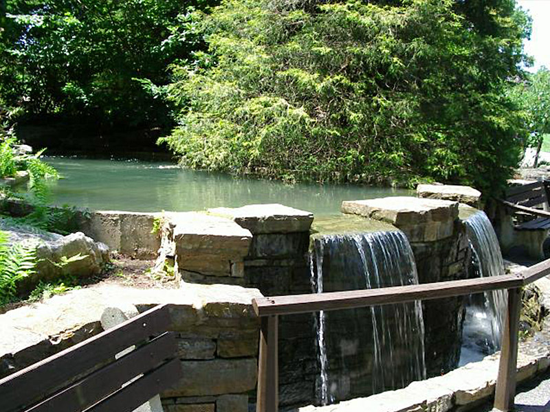
Lancaster County Central Park, named for its centralized location in the county, is the largest of the county’s parks, covering 544 acres. Central Park is located on the southern edge of Lancaster City in West Lampeter Township Whatever your favorite outdoor activities may be, you can enjoy them in Central Park.

Dutch Country & Gettysburg
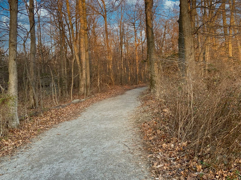
Ninety percent of the 750-acre Rock Ridge Park is a mature oak forest. Rocky Ridge was acquired in 1968, making it the first county park. It is perched on a rock-strewn hilltop northwest of Hellam which is one of the first places the county's original settlers established homes. Prime attractions are the picnic pavilions, multi-use trails and scenic views of the Susquehanna Valley.

Dutch Country & Gettysburg
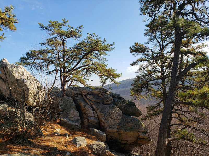
Experience this 2.9-mile out-and-back trail near Boiling Springs, Pennsylvania. Generally considered a moderately challenging route, it takes an average of 1 h 20 min to complete. This is a very popular area for hiking, so you'll likely encounter other people while exploring. The best times to visit this trail are May through October. Dogs are welcome, but must be on a leash.

Upstate PA & Susquehanna River Valley
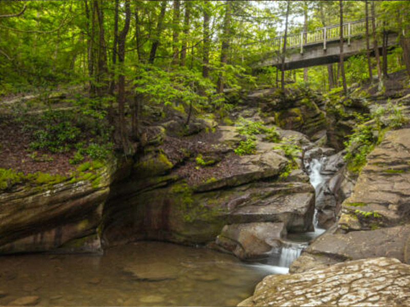
Try this 2.0-mile loop trail near Wilkes-Barre, Pennsylvania. Generally considered a moderately challenging route, it takes an average of 50 min to complete. This is a very popular area for hiking and trail running, so you'll likely encounter other people while exploring. The best times to visit this trail are May through June. Dogs are welcome, but must be on a leash.

Dutch Country & Gettysburg
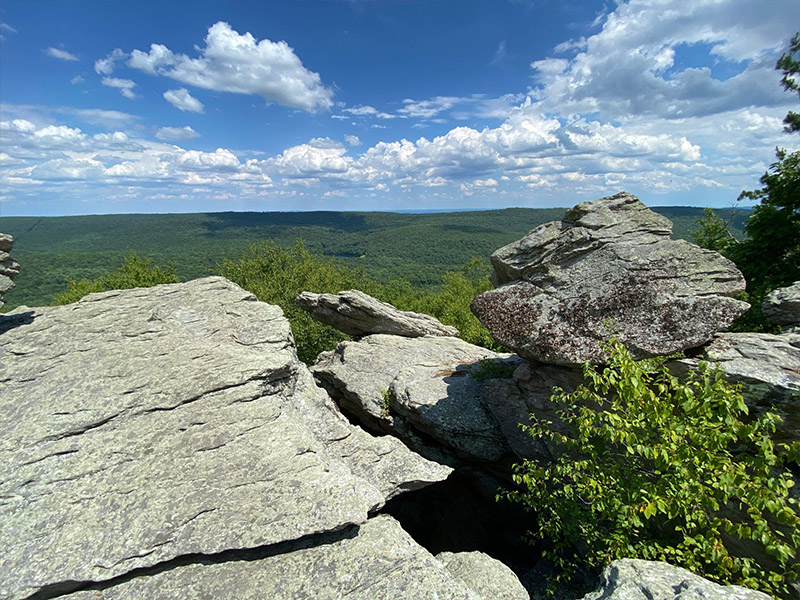
Explore this 4.8-mile loop trail near Quincy, Pennsylvania. Generally considered a moderately challenging route, it takes an average of 2 h 18 min to complete. This is a very popular area for hiking, trail running, and walking, so you'll likely encounter other people while exploring. The trail is open year-round and is beautiful to visit anytime. Dogs are welcome and may be off-leash in some areas.

Upstate PA & Susquehanna River Valley
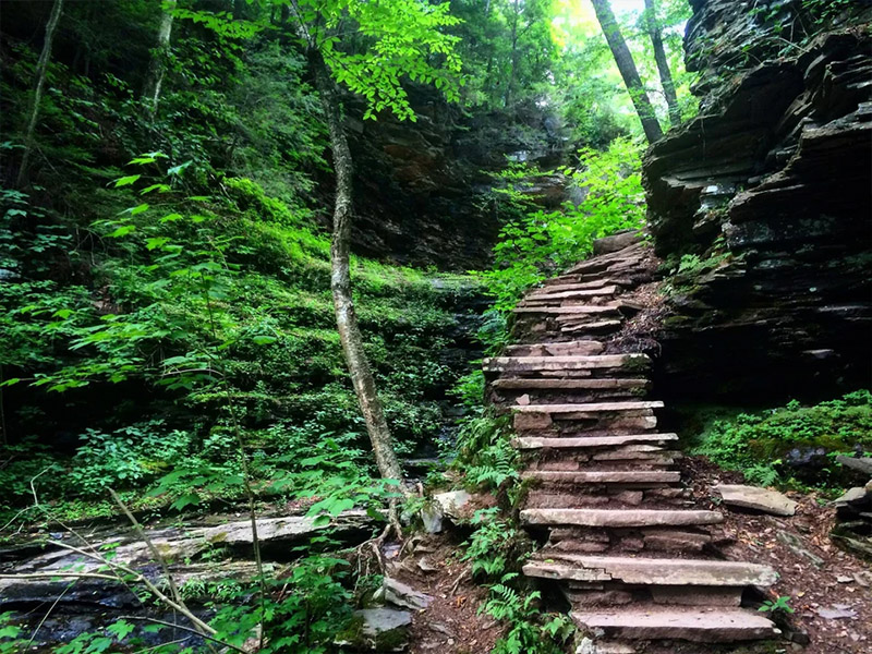
Enjoy this 8.0-mile loop trail near Sweet Valley, Pennsylvania. Generally considered a moderately challenging route, it takes an average of 3 h 27 min to complete. This is a very popular area for hiking and trail running, so you'll likely encounter other people while exploring. The trail is open year-round and is beautiful to visit anytime. Dogs are welcome, but must be on a leash.

Upstate PA & Susquehanna River Valley
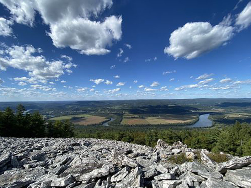
Try this 6.9-mile loop trail near Castanea, Pennsylvania. Generally considered a challenging route, it takes an average of 3 h 42 min to complete. This is a popular trail for birding and hiking, but you can still enjoy some solitude during quieter times of day. The best times to visit this trail are March through October. Dogs are welcome, but must be on a leash.

Upstate PA & Susquehanna River Valley
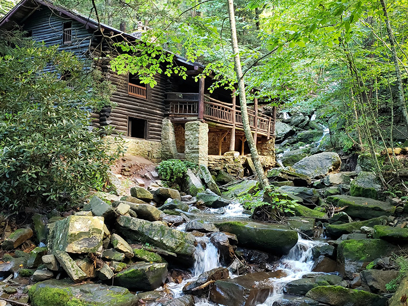
Enjoy this 3.1-mile out-and-back trail near Pine Grove, Pennsylvania. Generally considered an easy route, it takes an average of 1 h 9 min to complete. This trail is great for hiking and walking, and it's unlikely you'll encounter many other people while exploring.

Upstate PA & Susquehanna River Valley
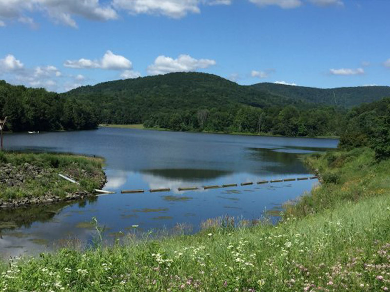
Explore this 2.5-mile loop trail near Columbia Cross Roads, Pennsylvania. Generally considered an easy route, it takes an average of 58 min to complete. This trail is great for cross-country skiing, hiking, and snowshoeing, and it's unlikely you'll encounter many other people while exploring. The best times to visit this trail are April through October. Dogs are welcome, but must be on a leash.

Philadelphia & Lehigh Valley
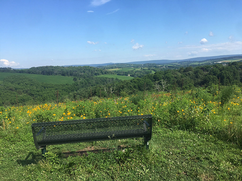
Explore this 9.1-mile loop trail near Schnecksville, Pennsylvania. Generally considered a moderately challenging route, it takes an average of 4 h 1 min to complete. This is a very popular area for hiking, horseback riding, and mountain biking, so you'll likely encounter other people while exploring. Dogs are welcome, but must be on a leash.

Philadelphia & Lehigh Valley
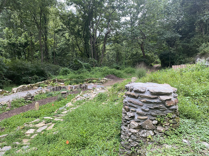
Experience this 2.4-mile loop trail near Downingtown, Pennsylvania. Generally considered a moderately challenging route, it takes an average of 1 h 0 min to complete. This is a very popular area for hiking, mountain biking, and trail running, so you'll likely encounter other people while exploring. The trail is open year-round and is beautiful to visit anytime. Dogs are welcome and may be off-leash in some areas.

Philadelphia & Lehigh Valley
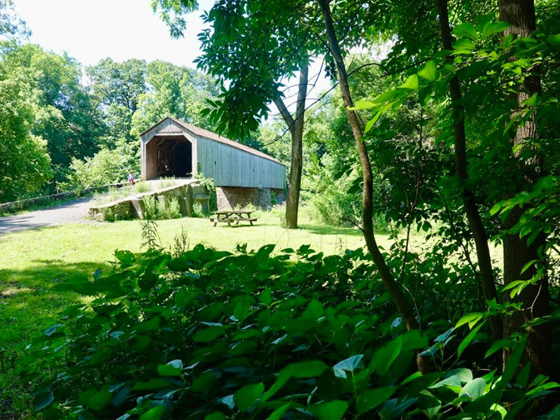
Get to know this 7.1-mile loop trail near Newtown, Pennsylvania. Generally considered a moderately challenging route, it takes an average of 2 h 53 min to complete. This is a very popular area for birding, hiking, and road biking, so you'll likely encounter other people while exploring. The trail is open year-round and is beautiful to visit anytime. Dogs are welcome, but must be on a leash.

Philadelphia & Lehigh Valley
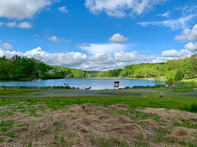
Enjoy this 2.6-mile loop trail near Green Lane, Pennsylvania. Generally considered an easy route, it takes an average of 1 h 3 min to complete. This is a popular trail for birding, hiking, and trail running, but you can still enjoy some solitude during quieter times of day. The trail is open year-round and is beautiful to visit anytime. Dogs are welcome, but must be on a leash.

Philadelphia & Lehigh Valley
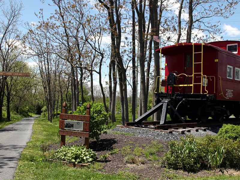
Enjoy this 12.8-mile loop trail near Coplay, Pennsylvania. Generally considered an easy route, it takes an average of 4 h 34 min to complete. This is a very popular area for birding, hiking, and mountain biking, so you'll likely encounter other people while exploring. The best times to visit this trail are March through October. Dogs are welcome, but must be on a leash.

Dutch Country & Gettysburg
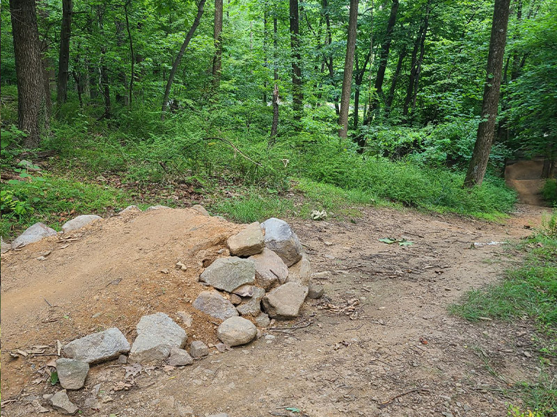
Explore this 3.1-mile loop trail near Reading, Pennsylvania. Generally considered an easy route, it takes an average of 1 h 16 min to complete. This is a popular trail for hiking and mountain biking, but you can still enjoy some solitude during quieter times of day. The trail is open year-round and is beautiful to visit anytime.

Philadelphia & Lehigh Valley
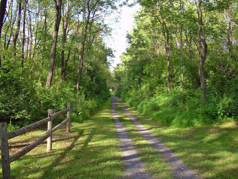
Take a walk on this historic rails-to-trails walking and bicycle path – on an abandoned Northampton-Bath Railroad line. Nor-Bath Trail is a 10.4 mile out and back trail located near Northampton, Pennsylvania. The trail is good for all skill levels and primarily used for walking, biking, cross-country skiing and interpretive education. The trail crosses Dry Run and Catasauqua Creek. Parking is available at a trailhead on Savage Road and within the adjacent Wayne A. Grube and Bicentennial parks.

Dutch Country & Gettysburg
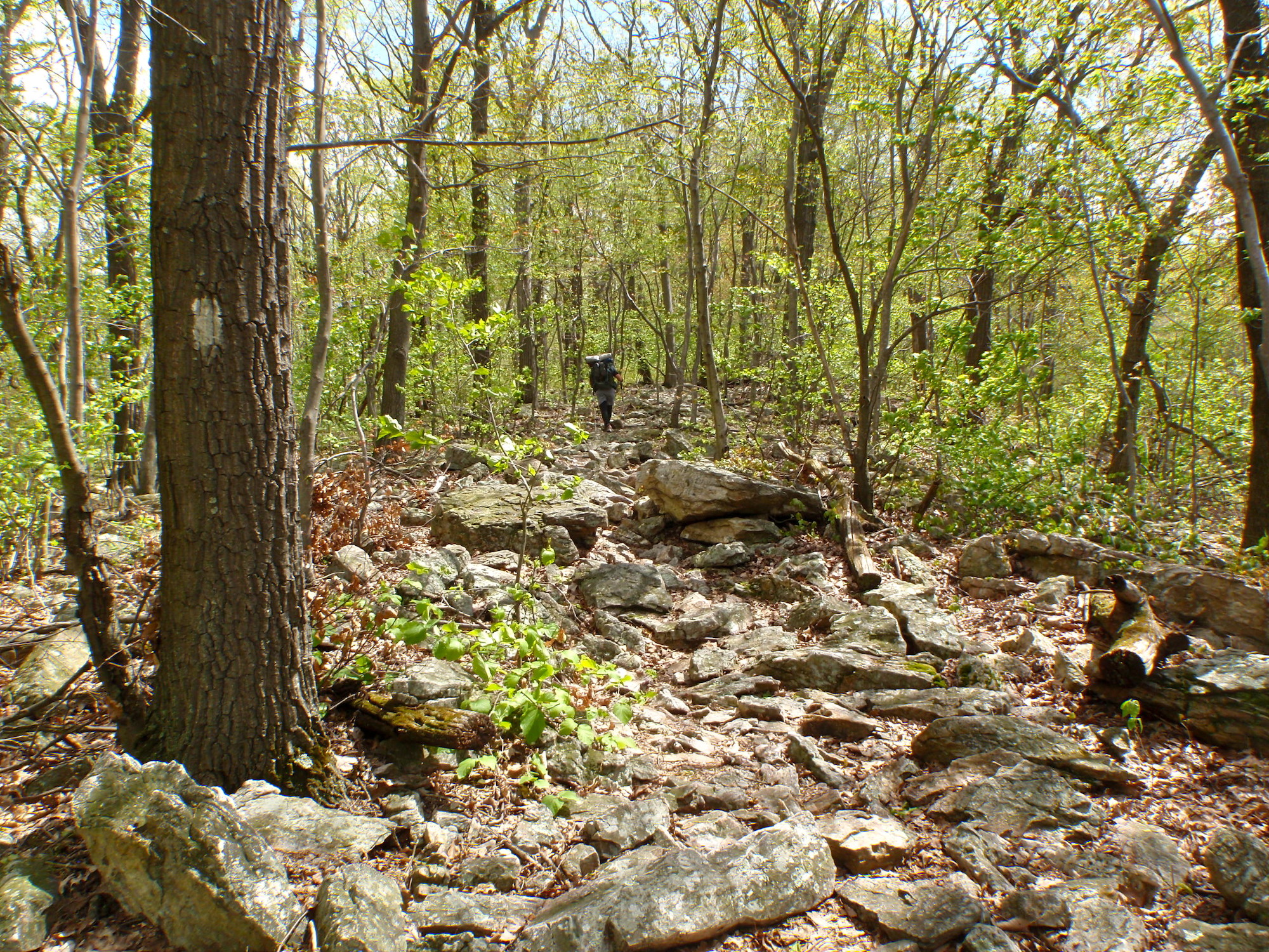
The Appalachian National Scenic Trail is the longest hiking-only footpath in the world, measuring 2,198.4 miles in length. The Trail travels through fourteen states along the crests and valleys of the Appalachian Mountain Range, from its southern terminus at Springer Mountain, Georgia, to the northern terminus at Katahdin, Maine. Known as the “A.T.”, more than 3 million people visit the Trail every year and over 3,000 people attempt to “thru-hike” the entire footpath in a single year. People from across the globe are drawn to the A.T. for a variety of reasons, such as reconnecting with nature, escaping the stress of city life, meeting new people or deepening old friendships, or experiencing a simpler life. Completed in 1937, the A.T. is a unit of the National Park System. It is managed under a unique partnership between the public and private sectors led by the Appalachian Trail Conservancy.

Pocono Mountains

The Appalachian National Scenic Trail is the longest hiking-only footpath in the world, measuring 2,198.4 miles in length. The Trail travels through fourteen states along the crests and valleys of the Appalachian Mountain Range, from its southern terminus at Springer Mountain, Georgia, to the northern terminus at Katahdin, Maine. Known as the “A.T.”, more than 3 million people visit the Trail every year and over 3,000 people attempt to “thru-hike” the entire footpath in a single year. People from across the globe are drawn to the A.T. for a variety of reasons, such as reconnecting with nature, escaping the stress of city life, meeting new people or deepening old friendships, or experiencing a simpler life. Completed in 1937, the A.T. is a unit of the National Park System. It is managed under a unique partnership between the public and private sectors led by the Appalachian Trail Conservancy.

Upstate PA & Susquehanna River Valley

The Appalachian National Scenic Trail is the longest hiking-only footpath in the world, measuring 2,198.4 miles in length. The Trail travels through fourteen states along the crests and valleys of the Appalachian Mountain Range, from its southern terminus at Springer Mountain, Georgia, to the northern terminus at Katahdin, Maine. Known as the “A.T.”, more than 3 million people visit the Trail every year and over 3,000 people attempt to “thru-hike” the entire footpath in a single year. People from across the globe are drawn to the A.T. for a variety of reasons, such as reconnecting with nature, escaping the stress of city life, meeting new people or deepening old friendships, or experiencing a simpler life. Completed in 1937, the A.T. is a unit of the National Park System. It is managed under a unique partnership between the public and private sectors led by the Appalachian Trail Conservancy.

Philadelphia & Lehigh Valley

The Appalachian National Scenic Trail is the longest hiking-only footpath in the world, measuring 2,198.4 miles in length. The Trail travels through fourteen states along the crests and valleys of the Appalachian Mountain Range, from its southern terminus at Springer Mountain, Georgia, to the northern terminus at Katahdin, Maine. Known as the “A.T.”, more than 3 million people visit the Trail every year and over 3,000 people attempt to “thru-hike” the entire footpath in a single year. People from across the globe are drawn to the A.T. for a variety of reasons, such as reconnecting with nature, escaping the stress of city life, meeting new people or deepening old friendships, or experiencing a simpler life. Completed in 1937, the A.T. is a unit of the National Park System. It is managed under a unique partnership between the public and private sectors led by the Appalachian Trail Conservancy.